Products
The MapEdit product family offers a suitable module for all tasks and requirements. Below you will find an overview of the MapEdit modules.
MapEdit
Professional
MapEdit Professional is the link between CAD and database. You can visualize and edit your geodata from the database (e.g. Oracle, Postgres) in CAD. Various GIS recording functions are available. Use MapEdit Professional as a plug-in for third-party CAD systems or as a complete solution.
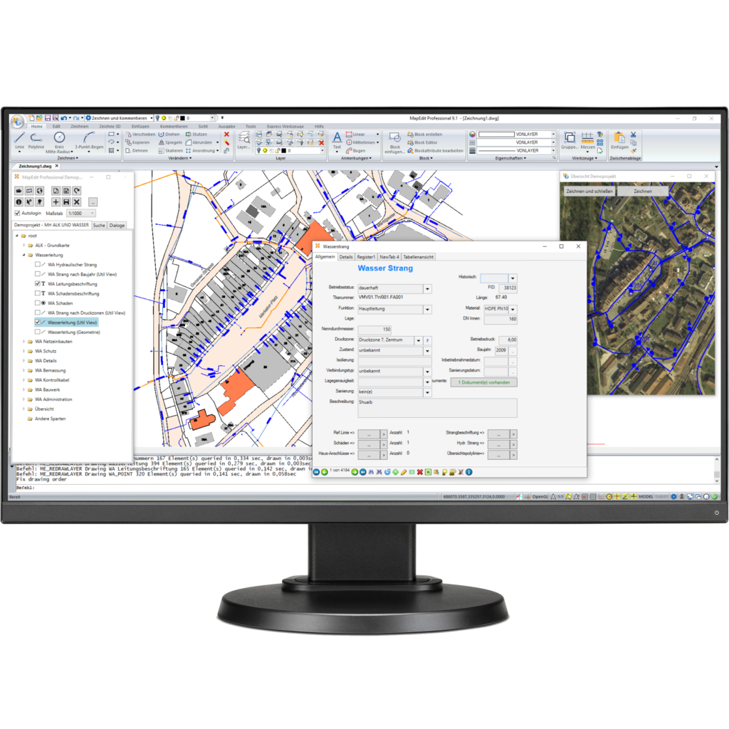
Flexible CAD Connexion
Planning function
Other functions:
- GIS Recording and Editing Functionality
- Network logic
- Schematic plan / internal objects
- Object Capture / Dimensioning / Labels
- Spatial queries
- DWG, DXF, DGN, SHP Im- und Export
MapEdit
Desktop
MapEdit Desktop is a Windows desktop app that is used for information and analysis of geodata. The app can be used in online and offline mode. You can visualize geodata and edit factual and geometric data as required.
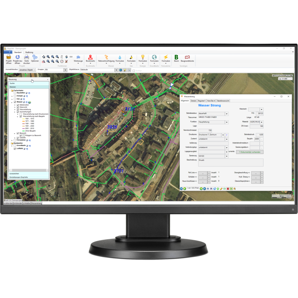
MapEdit 3D-Viewer
Efficient plot function
Other functions:
- Data view & modification
- Search & Measure
- Network tracking
- Oblique image viewer
- Redlining
- Flexible data export
- thematic analyses
MapEdit
Mobile
Web GIS “to go” – MapEdit Mobile is designed specifically for use on tablets and smartphones This allows convenient access to current data on the road and saves the trip to the office. Especially in the event of an incident, it is important that technicians on site have quick access to up-to-date data.
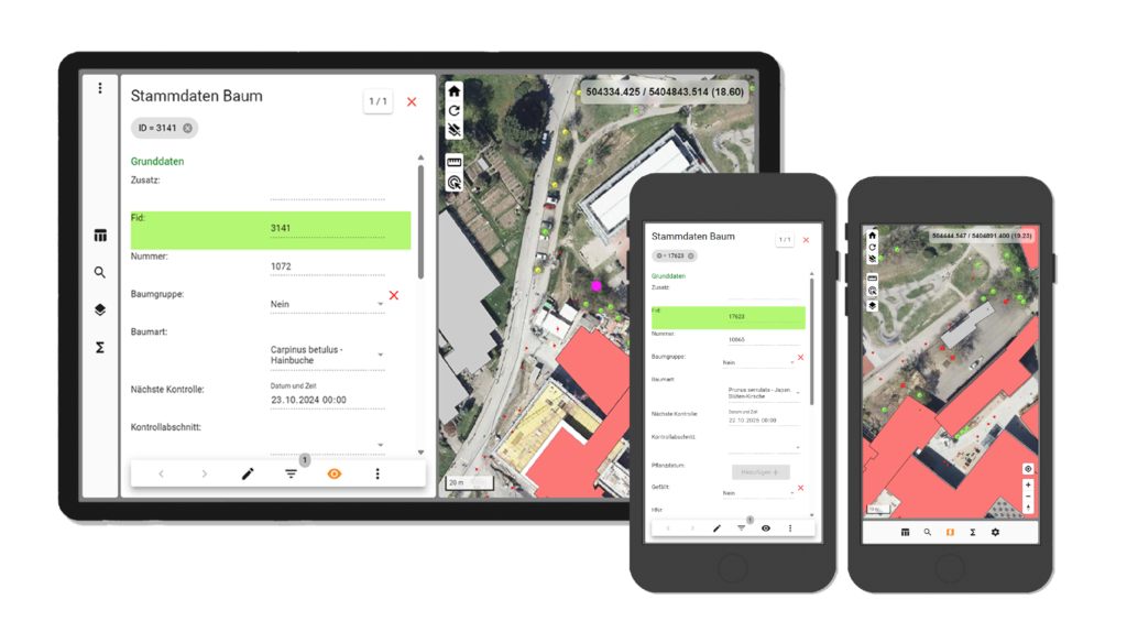
extensive filter function
Navigation
Other functions:
- Native app for iOS and Android or as a browser application
- Data view & modification
- Data acquisition incl. Photos
- 2-Factor-Authentication
- Search & Measure
- GPS Positioning
MapEdit
Portal
A full Responsive Web GIS solution designed for “non-GIS users”. The intuitive user interface enables every user to find his way around quickly. MapEdit Portal is intended to serve as an information system and is used as a community or citizen GIS. This app runs on all common mobile devices.
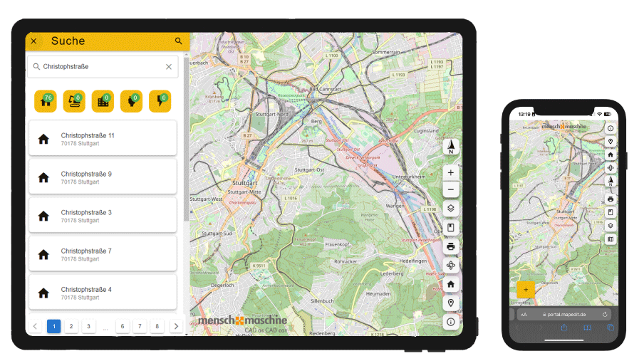
Versatile visualisation options
Direct links
Other functions:
- Mobile First! – Full Responsive
- „Design Thinking“
- Designed for “non” GIS users
- Uncomplicated functionality
- Easy configuration with the AppBuilder
MapEdit
App-builder
The central tool for configuring all MapEdit products – you define forms, database and map connections, create display models and maintain user and role administration. Changes are only made in one place and can then be used with all MapEdit tools on all platforms.
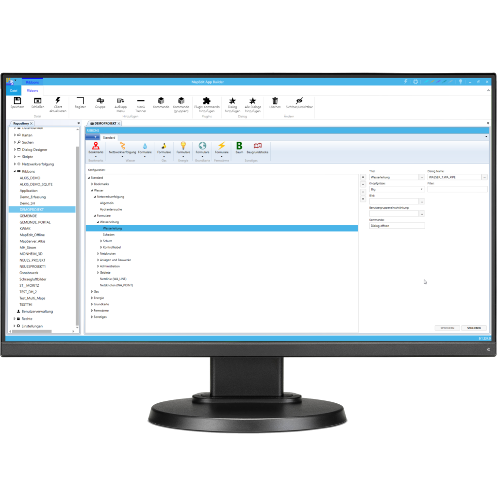
individual projects
detailed rights administration
Other functions:
- Create applications
- Central configuration of all MapEdit products
- Change/create database models
- Form Designer
- Presentation and rights administration
Interested?
Would you like to see for yourself what the software looks like live?
Then simply make a non-binding appointment for a demo.
